
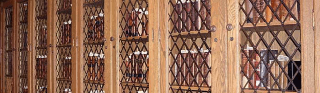
Selections from Special Collections
Files
Download Full Text (516 KB)
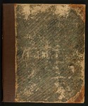
Description
[32] p. incl. 32 maps. 46 x 37 cm.
Some of the pages in this document were selected as part of a class project for Professor Garth Bond’s History of the Book seminar, Spring 2009. The abstract was prepared by Kyle Brennan.
Publication Date
1843
Publisher
S.E. Morse & Co.
City
New York
Keywords
historical maps, Wisconsin, Iowa
Disciplines
United States History
Rights
This work is in the public domain under United States Copyright Law. If you use any part of this work please include Lawrence University Special Collections in your citation.
Recommended Citation
Morse, Sidney E., "Selected pages from The cerographic atlas of the United States. By Sidney E. Morse, A.M., and Samuel Breese, A.M." (1843). Selections from Special Collections. 13.
https://lux.lawrence.edu/selections/13
Abstract
The Cerographic Atlas of the United States, was more accurate than maps published before the United States was a country. However, fixity was yet to be fully reached, as only states east of the Mississippi River were mapped in this atlas.